Introduction DRAFT
Several data sources providing grid references for the location of cave entrances have been reviewed and were found to vary in accuracy. The majority investigated appear either to refer to previously measured grid references or quote newly recorded data. Blog sites invariably use mobile phone GNSS to take measurements but unless the precision of these measurements is recorded, it is not very helpful when trying to relocate a feature such as a cave. Indeed, it is possible to be within 10m of some caves and still not be aware of the location of their entrance. Sub-metre improvement to mobile phone GNSS accuracy is anticipated when the EU Galileo satellite network becomes fully operational but these notes outline a low-cost solution to obtaining useful measurements as well as describing work undertaken with commercial GNSS receivers.
Accuracy of Available Data
Although historic data were often recorded to 50m accuracy based on the 6 figure Ordnance Survey grid referencing system, they were, however, supplemented with a detailed description of local features that enabled the cave entrance to be found though not always with ease.
These various data sources were cross-checked against those measured using a GNSS receiver with 2-3m accuracy. In view of the size of the cave entrances compared with the accuracy achieved, and what is currently available to most users of GNSS, this is sufficient to find the caves very easily.
Review of Grid Referencing Systems
Complete
https://www.ordnancesurvey.co.uk/docs/support/guide-coordinate-systems-great-britain.pdf
GNSS Basics
Global Navigation Satellite Systems (GNSS) refer to the Navstar GPS, GLONASS, Beidou and Galileo satellite constellations though not all are currently offering a service. In this discussion, the term GPS will be used to cover all these owing to its common usage.
Insert resource links
- Assisted GPS (AGPS) – acquire satellite locations quickly
- Smart phone, Bluetooth connected to a Hi- Resolution GPS receiver – differential GPS (DGPS) 2-3m accuracy
- Google maps
- Hand-held GPS systems that are WAAS/EGNOS enabled (SBAS)
- Average GPS software readings from several readings (Post Processing)
- Real Time Kinematic (RTK) corrections used to improve the precision of position data derived from GNSS measurements.
- OSNET – cm accuracy. https://www.ordnancesurvey.co.uk/business-and-government/products/os-net/
- Fine correction using local features visible from both Google satellite and ground observation
- Circular Error Probability (CEP): 95% of readings at any instant will fall within this region
Describe what work has been done to improve accuracy and confirm locations.
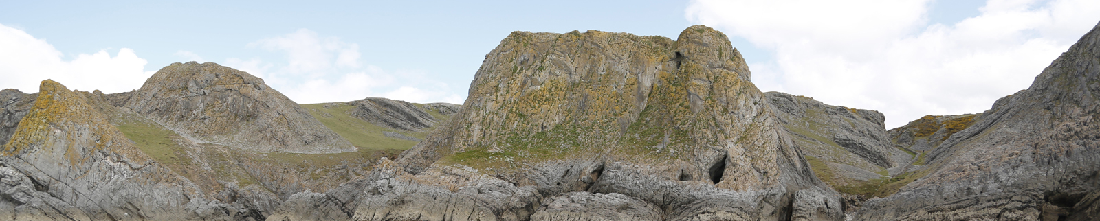
Known features easily visible from Google Earth with a reference point easily visible from both ground and satellite imaging is used to correct the initial measurement; e.g., Cathole. NOTE: add photos and screen grabs
